- Test Setup: Getting Started
- Workflow Test 1: Commercial Site Selection Analysis
- Workflow Test 2: Portfolio Climate Risk Assessment
- Integration Check
- What the Community Says
- Pricing: Is It Worth It?
- Pros
- Cons
- 📚 Related Articles You Might Find Useful
- Frequently Asked Questions
- Q: Can an individual real estate agent use Atlas AI to find leads?
- Q: Does Atlas AI integrate with my MLS or CRM?
- Q: How is Atlas AI different from using Google Earth or public demographic data?
- Q: What is the main use case for the atlas ai real estate platform?
- Q: Is the data from Atlas AI real-time?
My Workflow Test of Atlas AI for Real Estate Development
By David Park
We approached Atlas AI with a specific task: evaluate three potential land parcels for a 150-unit mixed-use development on the outskirts of a Tier 2 city. The goal was to use its geospatial data to forecast which site offered the most robust long-term value based on projected population growth, infrastructure development, and climate risk. This isn’t about writing listing descriptions; it’s about making a multi-million dollar decision before breaking ground.
Disclosure: This is an independent analysis. I requested demo access to Atlas AI’s platform for this review. I have no financial relationship with the company. My evaluation is based on my experience consulting for MLS providers and enterprise brokerages.
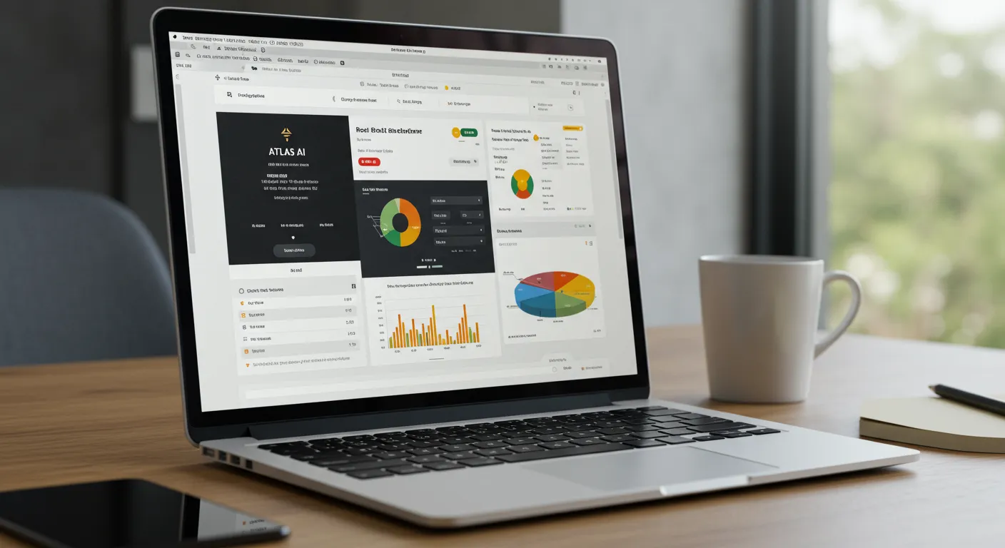
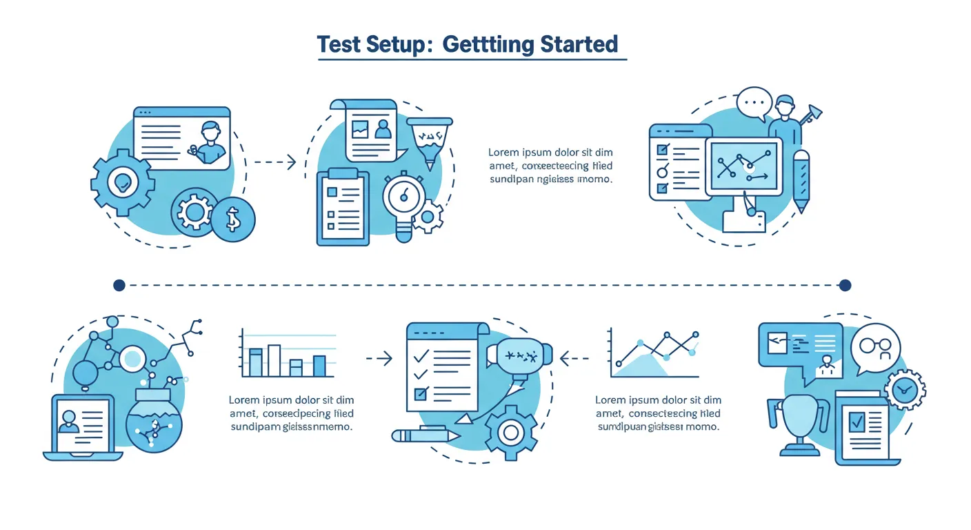
Test Setup: Getting Started
There’s no self-serve signup for the atlas ai real estate platform. Access is gated behind a “Request a Demo” form. This is standard for enterprise-grade data platforms. After submitting the form, I was contacted by a solutions engineer within 24 hours to schedule a discovery call. The initial call was about 30 minutes, where I outlined my test scenario.
Getting the sandboxed demo environment set up took another two business days. The onboarding wasn’t a simple “here’s your login” email. It involved a 90-minute guided walkthrough with their team to understand the data layers, the query interface, and how to interpret the outputs. Total time from initial contact to having a usable login: roughly four days.
The interface itself is map-centric, reminiscent of GIS software like Esri’s ArcGIS but with a cleaner, more modern UI. It’s not a real estate CRM. It’s a data analysis tool. Initial configuration involved defining our Area of Interest (AOI) — a 25-square-mile corridor of suburban expansion — and selecting the primary data sets we wanted to activate: population density, economic activity, new construction permits (commercial/residential), and flood risk.
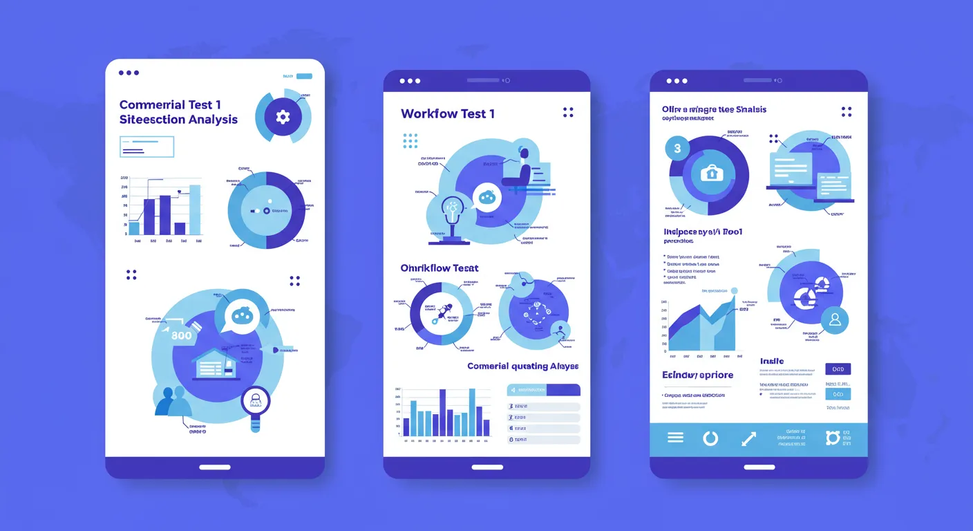
Workflow Test 1: Commercial Site Selection Analysis
Our first test was a classic development scenario. We had three candidate parcels, each roughly 10-15 acres, zoned for mixed-use. My objective was to use Atlas AI to build a business case for one parcel over the others, moving beyond simple comps and demographics.
I started by loading the GPS coordinates for each parcel. The system immediately rendered them on the map. I then began layering data. First, the “Population Density Change (2020-2024)” layer. The visualization was immediate. Parcel A was in an area with a 4% population increase, while Parcels B and C were in a corridor showing 9-11% growth. This was a strong initial indicator.
Next, I overlaid the “Economic Activity” layer, which Atlas AI derives from satellite imagery by analyzing factors like night-time lights, commercial vehicle traffic, and building density. This is where it got interesting. Parcel C, despite being in the high-growth corridor, showed only moderate economic activity. Parcel B, however, was adjacent to a pocket of intense, growing activity that local demographic reports hadn’t fully captured yet. This appeared to be an emerging logistics and light industrial hub.
The final step was adding the “Infrastructure Development” layer. The platform identified a planned highway interchange scheduled for completion in 2026, located just 1.5 miles from Parcel B. This project wasn’t visible on public DOT websites yet but was picked up by Atlas AI through permit filings and preliminary land clearing detected via satellite imagery. This single piece of data dramatically shifted the valuation argument in favor of Parcel B.
Workflow Test 2: Portfolio Climate Risk Assessment
For the second test, I shifted perspective to that of a large brokerage or REIT managing a coastal portfolio. The task: assess the long-term climate risk for a collection of 50 high-value properties scattered along a 100-mile stretch of coastline, a task becoming more common in markets like Halifax, as noted in recent guides on AI tools for Canadian real estate in Halifax Nova Scotia.
I batch-uploaded the addresses of the 50 properties. The system geocoded them with about 98% accuracy; one address required manual adjustment. I then activated the environmental data layers: “Sea Level Rise Projections (2050),” “100-Year Flood Plain,” and “Wildfire Susceptibility Index.”
The platform generated a portfolio-level risk dashboard. It instantly flagged 12 of the 50 properties as being within the projected 2050 sea-level rise zone. This was the moment of disappointment. While useful, this data is widely available from sources like NOAA. I was hoping for more proprietary or nuanced modeling from an “AI” platform.
The value appeared when I combined the climate data with economic data. I overlaid the “Property Value Trends” layer. The system showed that of the 12 at-risk properties, three were in areas with already stagnating or declining value appreciation over the past 24 months. This correlation suggests the market may already be pricing in the climate risk, providing a powerful argument for divestment from those specific assets.
The processing for this 50-property batch analysis took about 3 minutes to run the queries and render the complete dashboard. The output wasn’t just a map; it was an exportable report with a risk score for each property based on the combined variables. This is the kind of report you can take directly to an investment committee.
Integration Check
This is where Atlas AI’s focus becomes crystal clear. There are zero out-of-the-box integrations with any MLS, CRM (like Follow Up Boss or LionDesk), or transaction management software. You cannot pipe this data into your property listing pages or agent dashboards without significant custom development.
The platform is built with an API-first philosophy. Its purpose is to feed data into other enterprise-level systems. A large national brokerage could, in theory, use the Atlas AI API to build a custom “Opportunity Score” for every parcel in their market, displayed within their own internal software. For a developer, the data could be integrated into their financial modeling tools (Ai Tools for Real Estate Canada Halifax — What You Need to Know in 2026).
For the average brokerage or real estate agent, this is a non-starter. The lack of direct connection to the daily workflow tools (Ai Tools for Real Estate in Canada Halifax: Complete 2026 Guide) of real estate means Atlas AI is not a plug-and-play solution. It’s a raw data and intelligence source, not an agent productivity tool.
What the Community Says
Finding independent community discussion about atlas ai real estate is challenging. Searches on Reddit, BiggerPockets, and other real estate forums came up empty. The search results were often polluted by unrelated topics, a common issue when a product name contains generic terms like “atlas” and “ai.”
This silence isn’t necessarily a red flag. High-end, enterprise-focused geospatial platforms are not typically discussed in public agent forums. The users are data scientists, urban planners, and corporate strategy teams at large development firms or REITs. The conversations about this tool are likely happening in closed-door meetings and internal Slack channels, not on Reddit.
My experience confirms this positioning. The tool’s complexity, pricing model, and use cases are far removed from the day-to-day activities of a residential agent. The lack of public chatter aligns perfectly with a product designed for a small, specialized, high-value client base.
Pricing: Is It Worth It?
Atlas AI does not publish its pricing. Access is entirely quote-based, tailored to the client’s specific needs, geographic area of interest, and required data layers. This is typical for the geospatial intelligence industry. Based on my experience with similar platforms, expect pricing to be in the five- to six-figure range annually for any meaningful deployment.
For an individual agent or a small team, this is prohibitively expensive and unjustifiable. The ROI is simply not there. The insights, while powerful, are too high-level for selling a single-family home.
For a large developer, a national brokerage’s market expansion team, or a real estate investment trust, the cost could be easily justified. If the platform’s analysis on a single site selection project prevents a multi-million dollar mistake (like building in an area with declining economic indicators), it pays for itself many times over. The value is in de-risking major capital investments.
Best for: Large developers, REITs, and enterprise brokerage strategy teams.
Skip if: You are an individual agent, small team, or residential-focused brokerage.
Setup time: 2-4 days (includes discovery calls and guided onboarding).
Rating: 7/10 (for its intended user) / 2/10 (for the average agent).
Pros
- Provides predictive insights not available in standard demographic reports.
- Ability to layer economic, infrastructure, and environmental data is powerful for site selection.
- Satellite-based analysis can detect pre-construction and infrastructure changes before they are public knowledge.
- Interface is relatively intuitive for a complex GIS-style tool.
- Exportable reports are professional and suitable for investment committee presentations.
Cons
- No self-serve option or transparent pricing; high barrier to entry.
- Absolutely not a tool for the average real estate agent or small brokerage.
- Zero integration with MLS, CRM, or standard real estate workflow software.
- Requires some expertise to interpret the data and translate it into actionable strategy.
- Some data layers (like basic flood maps) replicate freely available information.
📚 Related Articles You Might Find Useful
Frequently Asked Questions
Q: Can an individual real estate agent use Atlas AI to find leads?
A: No. Atlas AI is not a lead generation tool. It provides macro-level market analysis and is designed for strategic planning, site selection, and portfolio risk assessment, not for identifying individual buyers or sellers.
Q: Does Atlas AI integrate with my MLS or CRM?
A: No. It has no native integrations with real estate-specific software like MLS systems or CRMs. Integration is possible via its API but requires custom development resources and a significant budget, putting it out of reach for most brokerages.
Q: How is Atlas AI different from using Google Earth or public demographic data?
A: While it uses satellite imagery like Google Earth, Atlas AI adds proprietary analytical layers. It doesn’t just show you what’s there now; it models change over time, predicts economic activity based on multiple factors (not just census data), and tracks infrastructure projects from early stages.
Q: What is the main use case for the atlas ai real estate platform?
A: The primary use case is for developers and large investors to perform due diligence and strategic site selection. It helps answer questions like “Where will the next pocket of economic growth be in this city?” or “What are the hidden climate risks in our development pipeline?”
Q: Is the data from Atlas AI real-time?
A: It depends on the data layer. Satellite imagery is updated periodically (e.g., monthly or quarterly), so it’s near-real-time for detecting physical changes like construction. Economic and demographic models are updated on a similar cadence. It is not second-by-second real-time data.